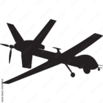

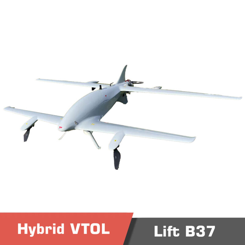
Lift VTOL B37, Hybrid Tandem Wing Heavy Lift, Long Endurance VTOL
Important Notice! If your company intends to export UAV products from China, it is necessary to comply with Chinese regulations. MotioNew products cannot be used for military, terrorist, or war purposes. Please read our Terms of Service for more information. Video Unleashing Power and Versatility…
Select options
This product has multiple variants. The options may be chosen on the product page
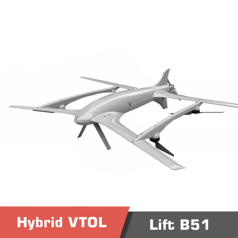
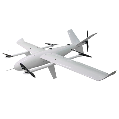
Lift VTOL B51, Hybrid Tandem Wing Heavy Lift, Long Endurance VTOL
Important Notice! If your company intends to export UAV products from China, it is necessary to comply with Chinese regulations. MotioNew products cannot be used for military, terrorist, or war purposes. Please read our Terms of Service for more information. Overview of Lift B51 The Lift B51 is a…
Select options
This product has multiple variants. The options may be chosen on the product page
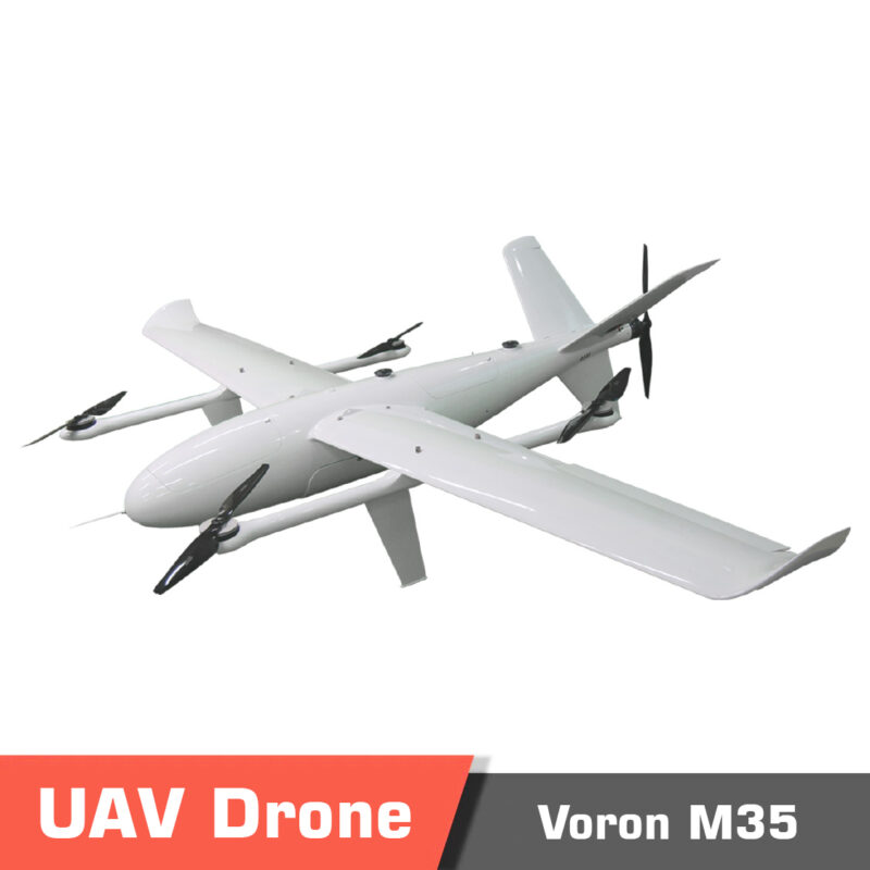
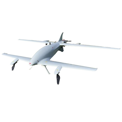
VTOL Drone Voron M35, Long Endurance, Heavy Payload Fixed-Wing
Important Notice! If your company intends to export UAV products from China, it is necessary to comply with Chinese regulations. MotioNew products cannot be used for military, terrorist, or war purposes. Please read our Terms of Service for more information. Video for VTOL Drone M35 Versatile…
Select options
This product has multiple variants. The options may be chosen on the product page
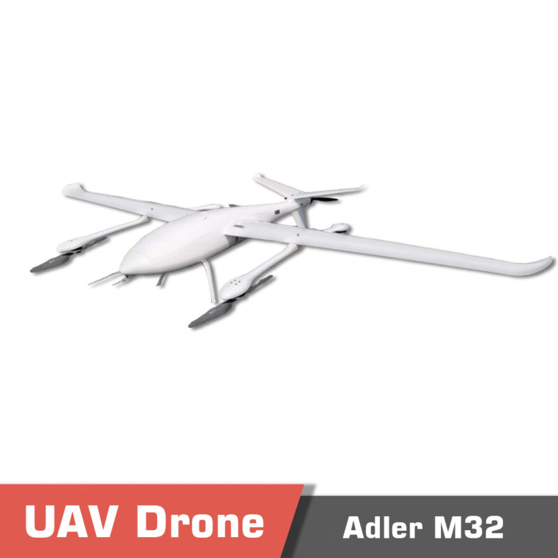
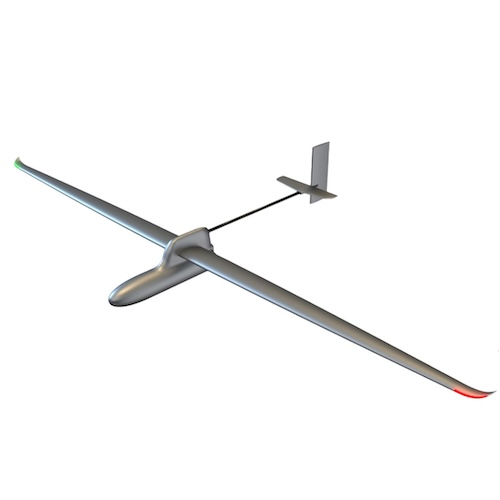
VTOL Drone Adler M32
Important Notice! If your company intends to export UAV products from China, it is necessary to comply with Chinese regulations. MotioNew products cannot be used for military, terrorist, or war purposes. Please read our Terms of Service for more information. Video VTOL drone Adler M32 , Long…
Select options
This product has multiple variants. The options may be chosen on the product page
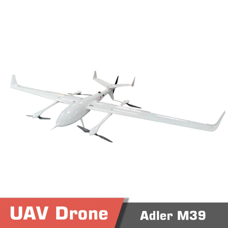
VTOL Drone Adler M39
Important Notice! If your company intends to export UAV products from China, it is necessary to comply with Chinese regulations. MotioNew products cannot be used for military, terrorist, or war purposes. Please read our Terms of Service for more information. VTOL Drone Adler M39 Overview VTOL Drone…
Select options
This product has multiple variants. The options may be chosen on the product page


Reviews
There are no reviews yet.